
Protecting Native Ecosystems
Invasive Species Monitoring
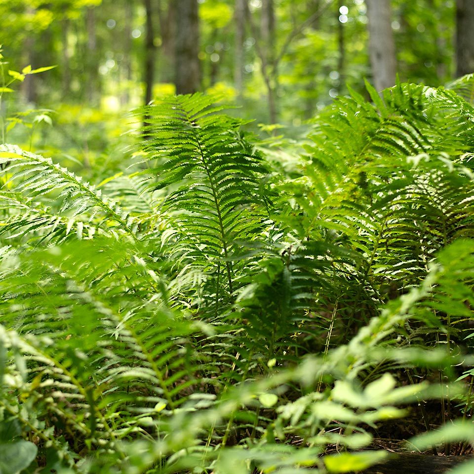
Forests and natural areas are important habitats for people and wildlife.
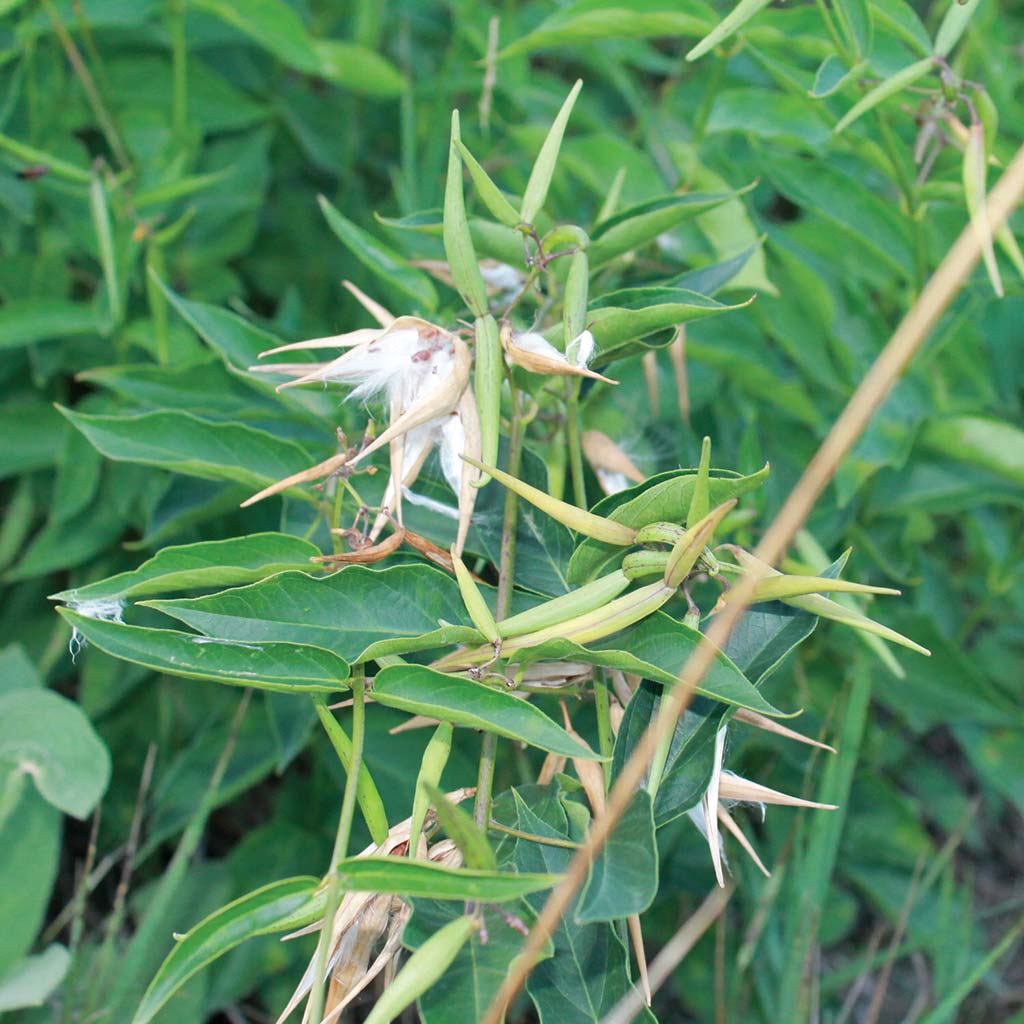
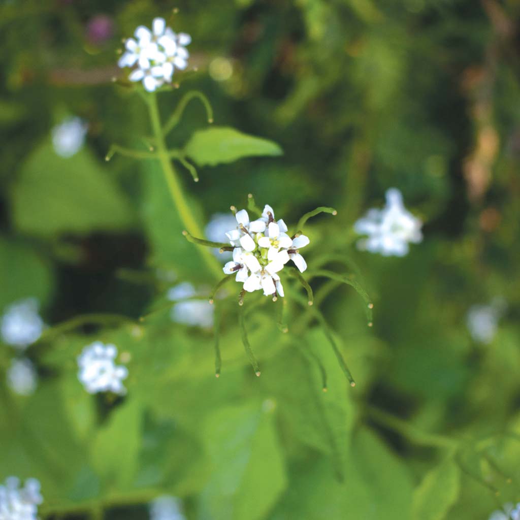
Non-native pests, and pathogens can have a negative impact on the natural area, by reducing native flora and reducing vital wildlife habitat. The GRCA conducts two types of invasive species monitoring to track and map the spread of priority nuisance species.
A trail system inventory and a roadside monitoring program are completed for conservation areas and municipal road systems.
Administration Office
2216 County Road 28
Port Hope, ON L1A 3V8
T: 905.885.8173
F: 905.885.9824
Ganaraska Forest Centre
10585 Cold Springs Camp Road
Campbellcroft, ON L0A 1B0
T: 905.885.8173
F: 905.797.2545
Trail System Monitoring
The trail systems within the priority public lands will be walked in their entirety, inventorying suite of invasive plants.
Both sides of the trail will be surveyed, making note of which side the invasive species are on. Along the trail system, if there is a population of invasive plants, GPS points are taken as well as the quantity and distribution are recorded.
This information helps us to monitor the growth of a population and help to prioritize and target areas in need of restoration.
Roadside Monitoring
Roadside monitoring has been completed in the GRCA jurisdiction since 2015.
Each municipality on a three year rotating schedule is monitored for invasive species along the roadsides. This is completed by driving along roads and identifying invasive species. This inventory does not include the urban areas, such as subdivisions since most of the areas are mown lawn with low presence of invasive species.
Similarly to the trail monitoring populations of invasive species are marked and their quantity and distribution is recorded. By conducting roadside surveys it helps to determine the spread of invasive species across municipal boundaries and helps with early detection of new invasive species.